


Product Details
+
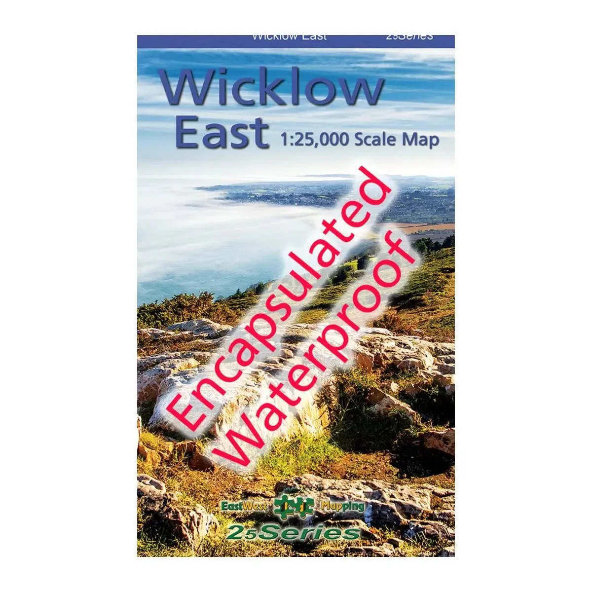
Definitive detailed map from our 25Series of Wicklow at 1:25,000 scale covering from Bray to Wicklow Town and Roundwood to the Irish Sea. Covers the Irish Sea coast, Devils Glen, Sugarloaf, Roundwood Reservoir, local waymarked trails marked. First published in 2011, this is a completely new and detailed map replacing the previous 1:30,000 scale maps. We have conducted considerable research into local sites & placenames and much information is recorded on this map. Printed on good quality Progeo 90gsm map paper, this map is encapsulated or laminated on both sides with a flexible laminate. It’s durable, waterproof and weatherproof. The map sheet measures 1125mm x 820mm, covering 550 sq kilometres and is folded down to 125mm x 205mm.


")


